Description
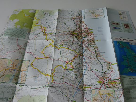
National Byway Map – North East
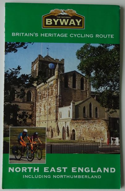
The North East England National Byway Map
The National Byway Map for North East England is 205 miles (including Hexham loop of 23 miles) linking heritage sites and places of interest along the way, using quiet country lanes. It includes:
- Barnard Castle
- Bishop Auckland
- Durham
- Hexham
- Kielder
ISBN: 9780749534648
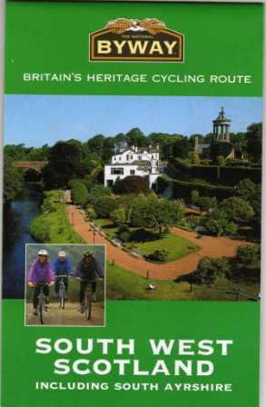
The National Byway is a 4,500-mile (7,240 km.) sign-posted cycling route round Britain. This is one of the four maps in print. More information on the National Byway page.